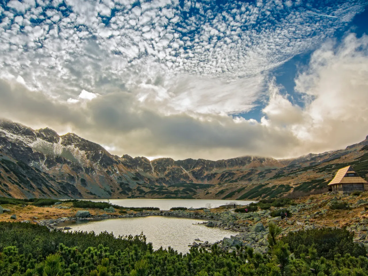
The most challenging trails in the Tatra Mountains are Orla Perć, the ridge routes to Świnica and Kozi Wierch, the climb to Rysy, Poland’s highest peak, and the steep slabs of Kościelec. Giewont and the long Czerwone Wierchy ridge are also demanding days for experienced hikers. These routes have chains, ladders, serious exposure and weather that can change within an hour, and they are best tackled from July to September by fit hikers who are comfortable with heights. This guide describes each route, what makes it hard and how to prepare.
New to the Tatras? Start with our guide to hiking in the Tatras or the easy Tatra trails and build up from there.
Challenging Tatra trails at a glance
| Route | Highest point | Main difficulties | Typical day |
|---|---|---|---|
| Giewont | 1,894 m | Chains on the final section, crowds, lightning risk | 6–7 hours |
| Czerwone Wierchy | about 2,120 m | Long, exposed ridge, fog and wind | 8–9 hours |
| Kościelec | 2,155 m | Steep rock slabs, exposure, slippery when wet | 7–8 hours |
| Świnica | 2,301 m | Chains, exposed ridge, loose rock | 7–9 hours |
| Rysy | 2,499 m | Long ascent, chains, falling stones, late snow | 10–12 hours |
| Orla Perć | 2,291 m (Kozi Wierch) | Ladders, chains, constant exposure, one-way sections | 8–10 hours with approach |
Times include the approach from the trailhead and are realistic for fit, experienced hikers in good conditions.
Giewont: Zakopane’s iconic summit
Giewont, the peak with the cross that dominates the view from Zakopane, is reached from Kuźnice via Hala Kondratowa or from the Dolina Strążyska and Dolina Małej Łąki valleys. The approach is a steady hike; the difficulty is concentrated in the final section, a rocky climb secured with chains.
- Crowds: on summer weekends there can be long queues on the chains. Start at first light or go midweek.
- Storms: the summit and its metal cross attract lightning. Never go up with storms forecast, and descend immediately if thunder starts.
- Direction: the final chained section is organised for one-way traffic at busy times.
Czerwone Wierchy: a long high ridge
The Czerwone Wierchy (Red Peaks) are four summits on the main ridge of the Western Tatras, named after the plant that turns their slopes red in autumn. Technically they are easier than the High Tatras, but the ridge is long, exposed and has few escape routes. In fog, the broad slopes become disorienting, and the area has a history of serious accidents in bad weather. Go only with a clear, stable forecast, and plan a descent route before you set off.
Kościelec: the “Polish Matterhorn”
Kościelec rises like a pyramid above the lake Czarny Staw Gąsienicowy, and its shape has earned it the nickname “Polish Matterhorn”. The trail from Hala Gąsienicowa climbs to the Karb pass and then up steep, smooth rock slabs with few chains. It is not long, but it requires sure footing and a good head for heights. The slabs become dangerously slippery when wet, so avoid them after rain.
Świnica: chains above Kasprowy Wierch
Świnica (2,301 m) is the classic next step for hikers who have enjoyed Kasprowy Wierch. From the top of the cable car, the red trail follows the border ridge east, with chained, exposed sections near the summit and loose rock underfoot. Many hikers continue to Zawrat, a pass with more chains, and descend to the Valley of Five Polish Ponds or Hala Gąsienicowa. A helmet is a good idea because of falling stones from groups above.
Rysy: Poland’s highest peak
Rysy has three summits. The north-western one, on the border, is the highest point in Poland at 2,499 m. From the Polish side, the red trail starts at the Morskie Oko hut, climbs to Czarny Staw beneath Rysy and then steeply up rocky slopes and a gully with chains to the summit.
- Length: from Palenica Białczańska it is a very long day, often 10–12 hours there and back including the approach road to Morskie Oko.
- Snow: snow often remains in the upper gully into early summer. Mid-July to September is usually the best window.
- Falling stones: the route is busy, and stones dislodged by hikers above are a real risk. Many hikers wear a helmet.
- Not for beginners: the route is not recommended for people without mountain experience.
A good warm-up before Rysy is our guided Valley of Five Polish Ponds hike, a full day in high terrain without technical difficulties.
Orla Perć: the hardest marked trail in Poland
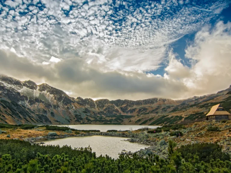
Orla Perć (Eagle’s Path) is a ridge route of about 4.5 km between the Zawrat pass and the Krzyżne pass, crossing peaks such as Kozi Wierch (2,291 m), the highest summit lying entirely in Poland. It is secured almost along its whole length with chains, metal steps and ladders, and has constant exposure.
- One-way traffic: the section from Zawrat to Kozi Wierch is one-way only, introduced after accidents caused by people passing in opposite directions.
- Time: the ridge itself usually takes 6–8 hours, plus the approach and descent.
- Renovation closures: sections are closed from time to time for repairs to chains and ladders. Check current trail notices before you plan.
- Risk: Orla Perć has the highest number of fatal accidents of any trail in the Polish Tatras. Do it only with plenty of experience on exposed terrain, and preferably with a qualified mountain guide on your first visit.
You do not have to do the whole ridge at once. Many hikers split it into sections, using the side trails that link the ridge with Hala Gąsienicowa and the Valley of Five Polish Ponds.
Preparing for challenging Tatra trails
- Build up gradually: do moderate routes such as Hala Gąsienicowa or the Valley of Five Polish Ponds first.
- Check conditions: look at the mountain forecast, TPN trail notices on tpn.pl and, outside summer, the avalanche bulletin on topr.pl.
- Start early: afternoon thunderstorms are common in summer. Aim to be off the ridges by early afternoon.
- Gear: boots with stiff soles and good grip, a helmet on Rysy and Orla Perć, gloves for the chains, layers, a waterproof jacket, a headtorch, water and food.
- Know the rules: trails are closed at night, and some sections close seasonally. Stay on marked trails.
- Emergency: save the Tatra mountain rescue numbers, 985 and +48 601 100 300, and install the Ratunek app.
Experienced hikers: the Slovak side
The Slovak High Tatras offer long, high routes with fewer crowds, but their high trails close each year from 1 November until late spring. Our Zelené Pleso hike is a good introduction to the Slovak side, with transfer from Zakopane.
FAQ
What is the hardest trail in the Tatras?
Orla Perć is considered the most difficult marked trail in the Polish Tatras, with constant exposure, chains and ladders.
Is Rysy dangerous?
It is demanding rather than technical, but the long ascent, chains, falling stones and lingering snow make it unsuitable for inexperienced hikers. In good conditions and with preparation, it is a classic summit.
Do I need a helmet in the Tatras?
A helmet is strongly recommended on Rysy, Orla Perć and other busy rocky routes where stones can fall from above.
When is the best time for high Tatra trails?
From mid-July to September, when snow has mostly melted. Early starts help avoid afternoon storms.
Should I hire a mountain guide?
For Orla Perć, Rysy or any route at your limit, a qualified guide makes the day safer and lets you focus on the mountain.